|
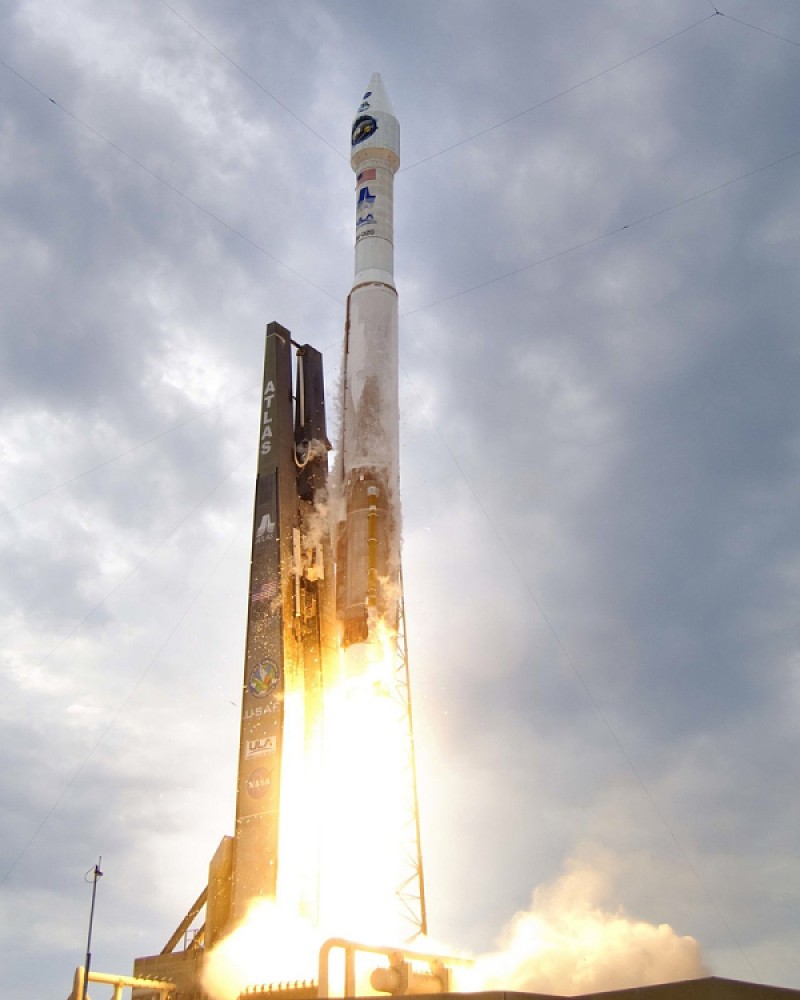
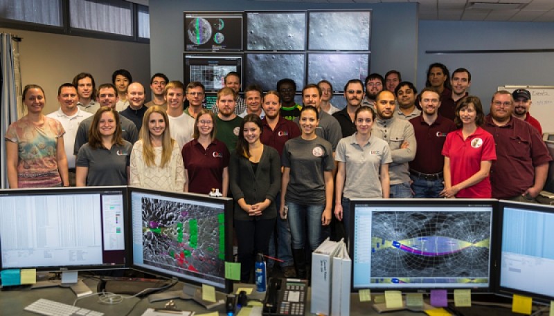
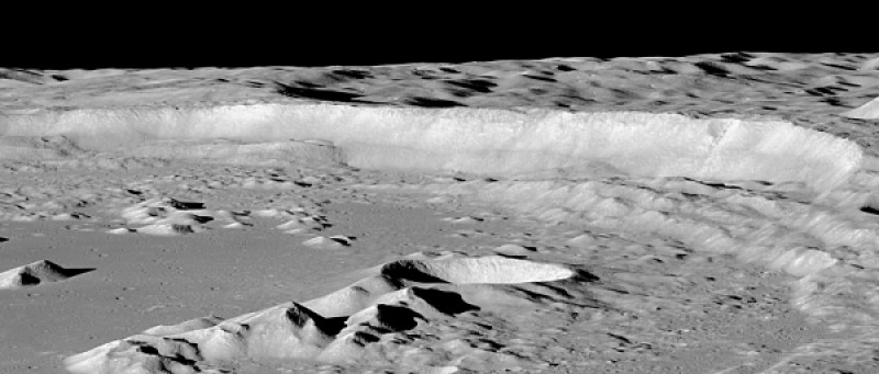
Our Moon is a surprisingly dynamic place. New impact craters are being formed. Volcanic activity, once thought long extinct, may have happened in the recent past. The crust has recently fractured from slow interior cooling and shrinking of the Moon. It may still be shrinking today. The Lunar Reconnaissance Orbiter spacecraft has been studying the Moon from lunar orbit since 2009. Its high-resolution imaging system, the Lunar Reconnaissance Orbiter Camera (LROC), has taken over a million images of the surface and revealed details never before seen. These images are providing answers to long-held questions, and raising new questions about the Moon's ancient and recent past. The mission was originally conceived to make measurements necessary to support future human missions to the Moon. After its first 15 months of operations, it began a mission of pure scientific exploration. The lunar landscapes presented here are a small but magnificent sample of LROC images. They provide a glimpse of recent discoveries and reveal our nearest and most familiar celestial neighbor to be strikingly beautiful, still full of mystery, and truly amazing. A New Moon Rises is made possible by the generous support of NASA and Arizona State University. The Lunar Reconnaissance Orbiter is a cooperative effort by hundreds of people. NASA, universities, private companies, and international partners all contributed to the mission. All lunar images courtesy of NASA/GSFC/Arizona State University |
|
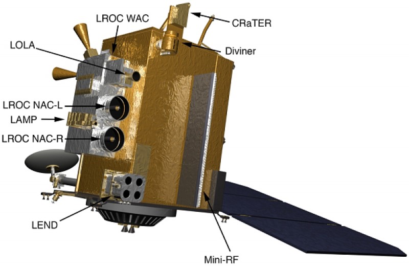 |
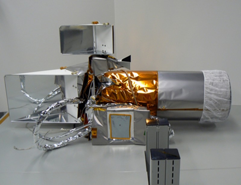
Lunar Reconnaissance Orbiter Camera (LROC) Cosmic Ray Telescope for the Effects of Radiation (CRaTER) Diviner Lunar Radiometer (DLRE) Lyman Alpha Mapping Project (LAMP) Lunar Exploration Neutron Detector (LEND) Lunar Orbiter Laser Altimeter (LOLA) Mini-RF Synthetic Aperture Radar |
|
|
|
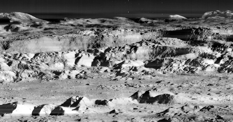
Rugged Lunar Highs and Lows |
Read more: airandspace.si.edu